


The Beauty and Ruin of Smaller Temples at Koh Ker

- By Ky Chamna
- October 14, 2023 5:00 PM
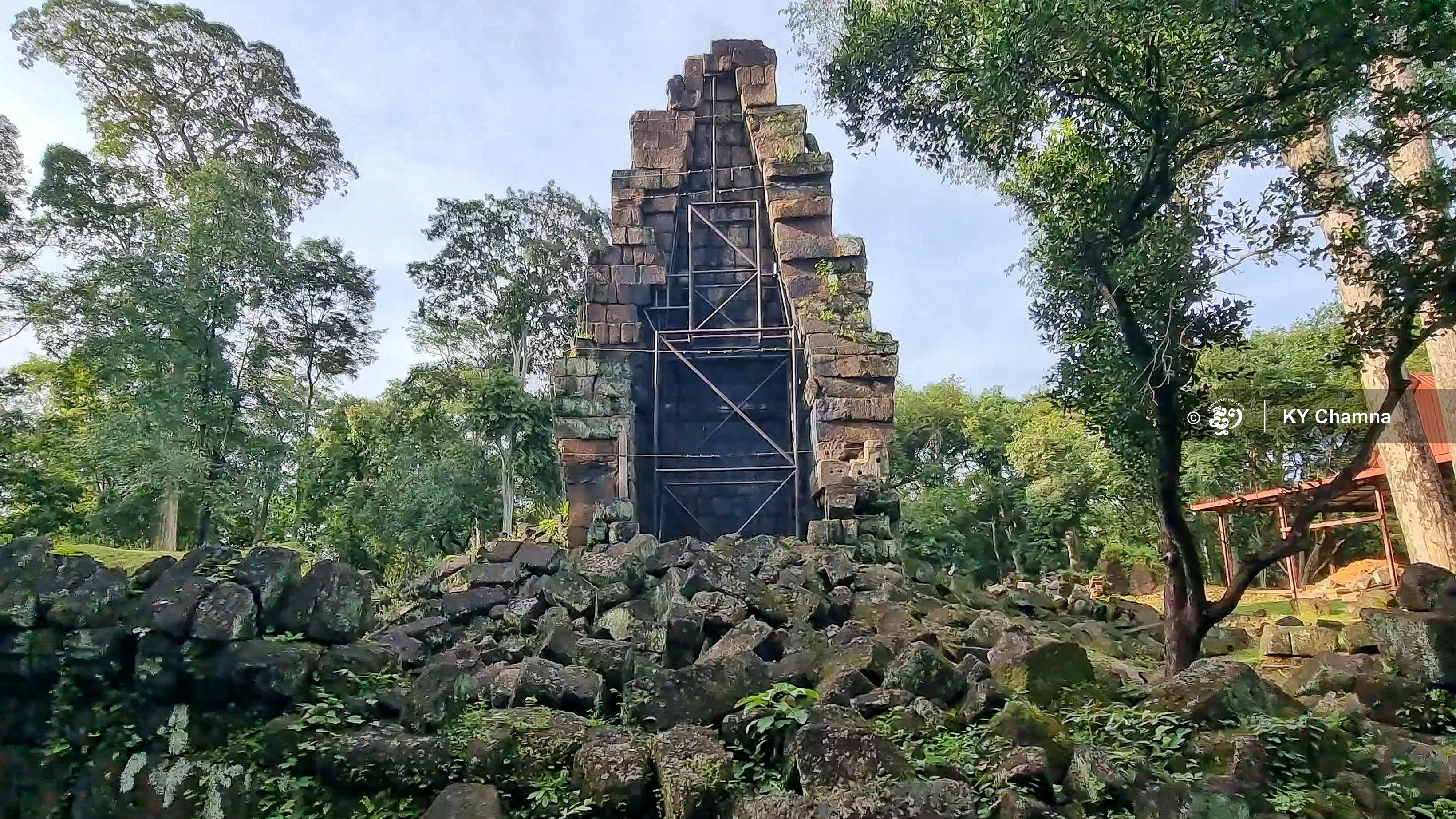
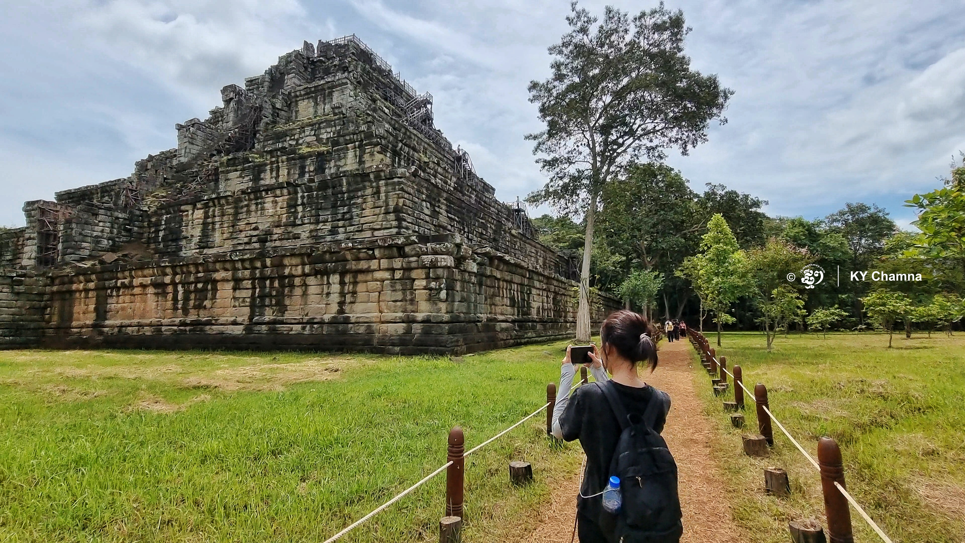
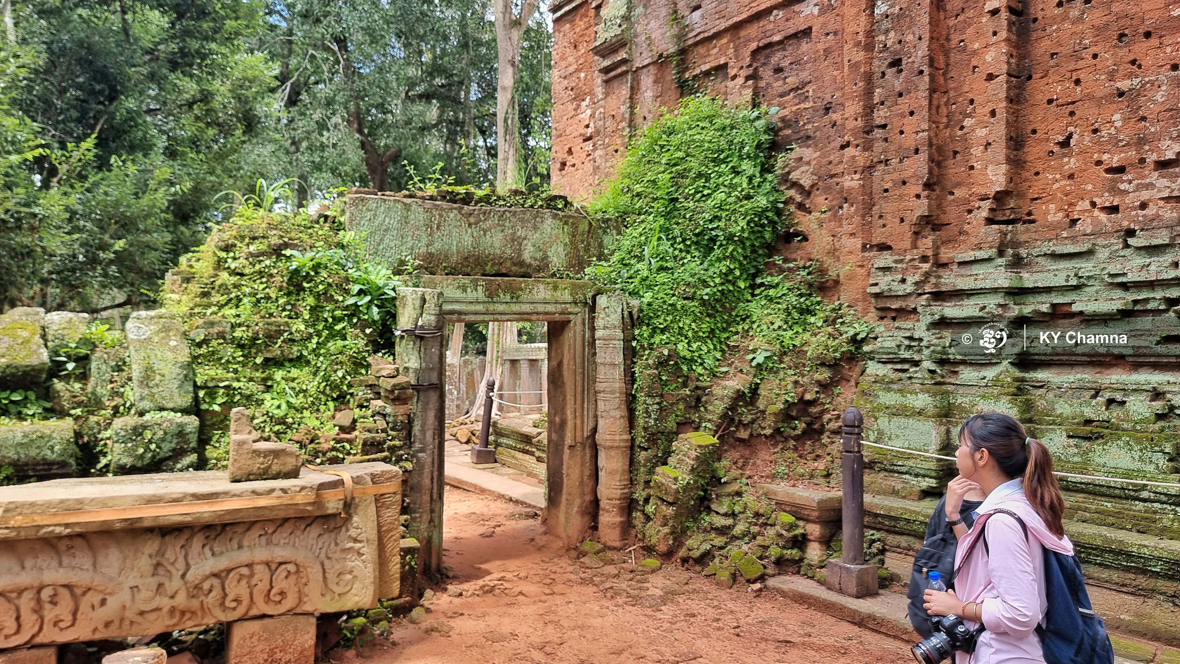
Preah Vihear - Upon visiting Koh Ker, the site of a city that thrived 1,000 years ago, due to time constraint, tourists tend to limit their visit to the prominent Prang temple, which is a vast pyramid with seven levels. However, smaller temples in the vicinity, which were part of that city’s infrastructure, are worth venturing away.
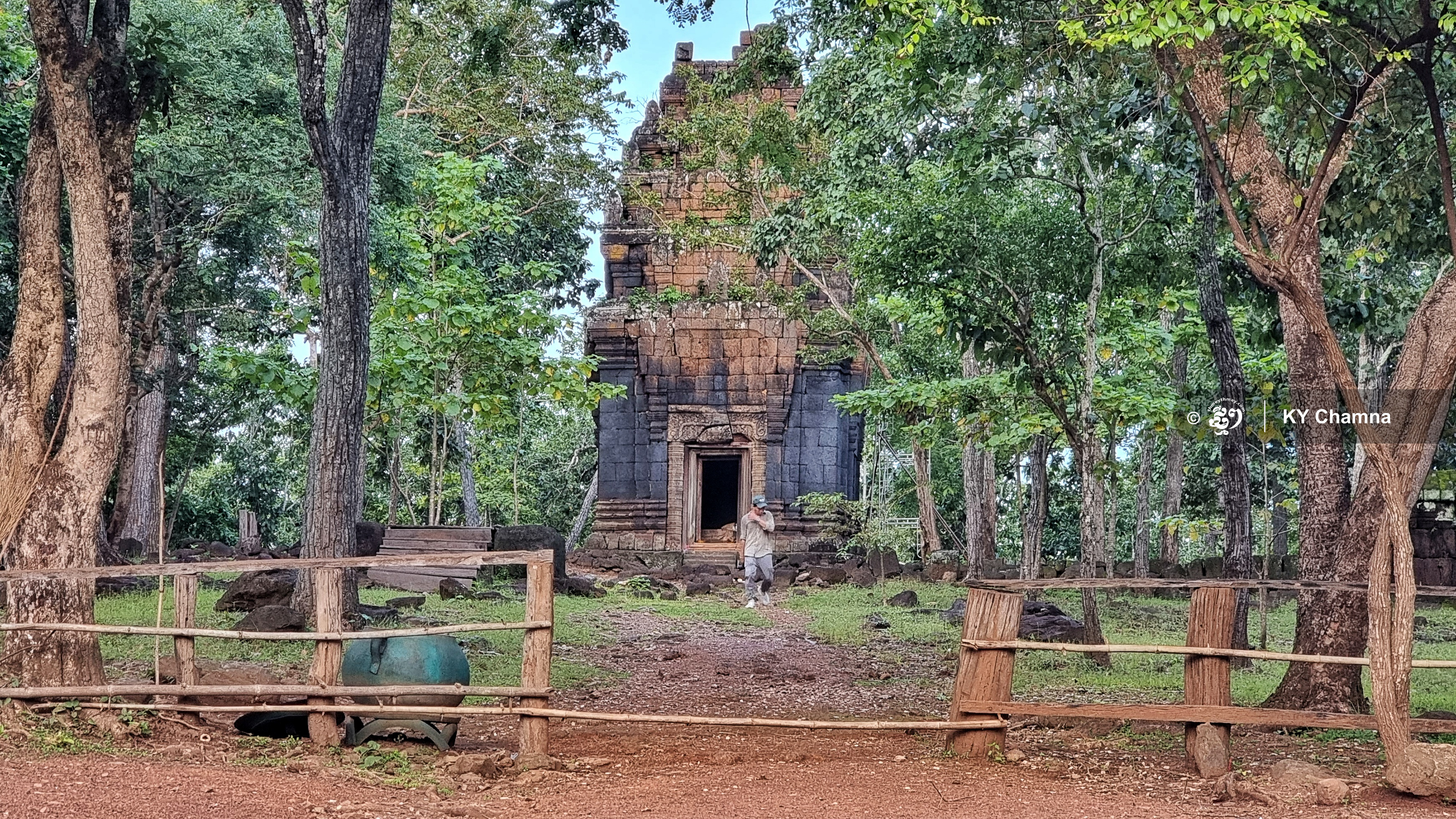
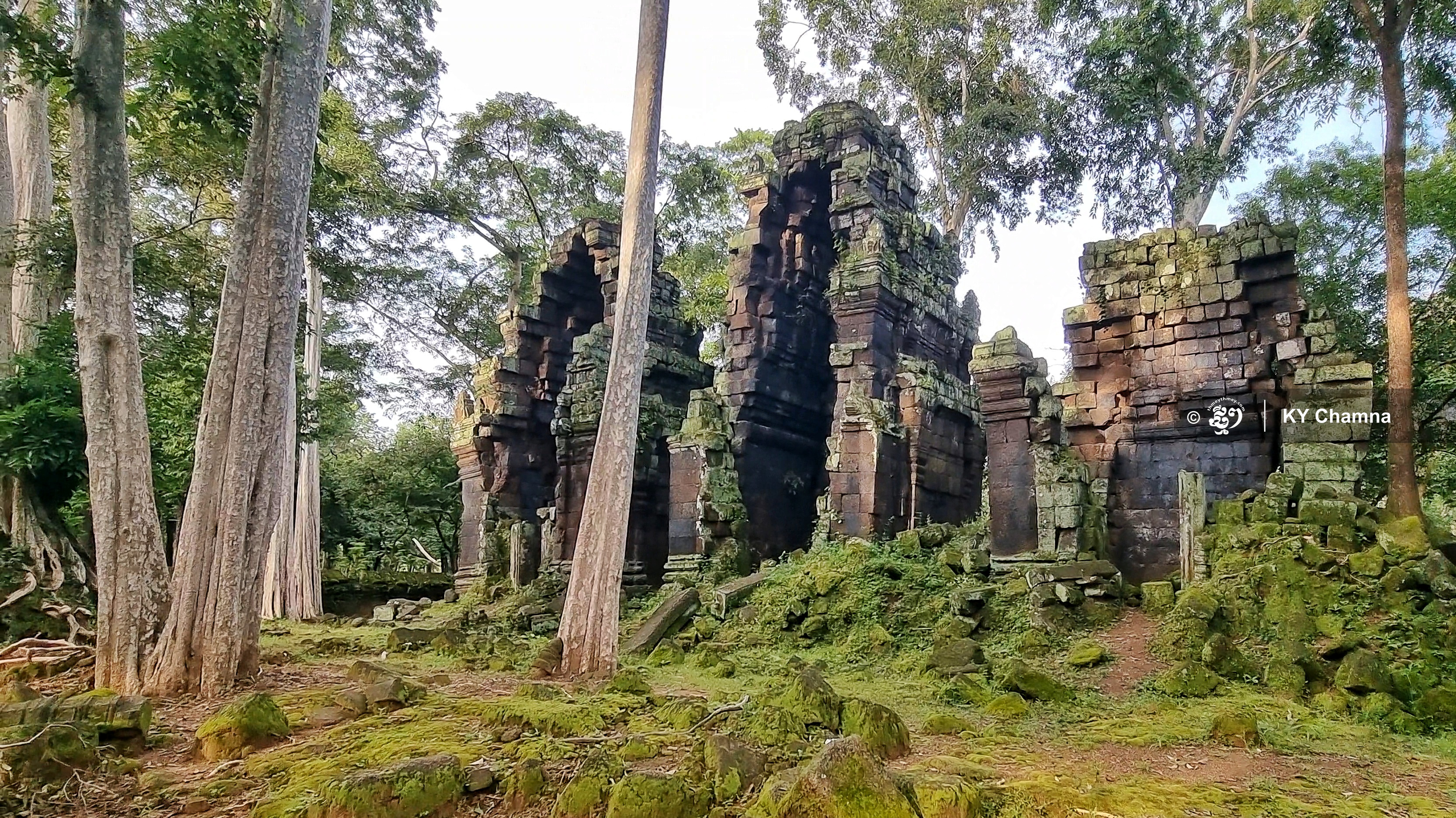
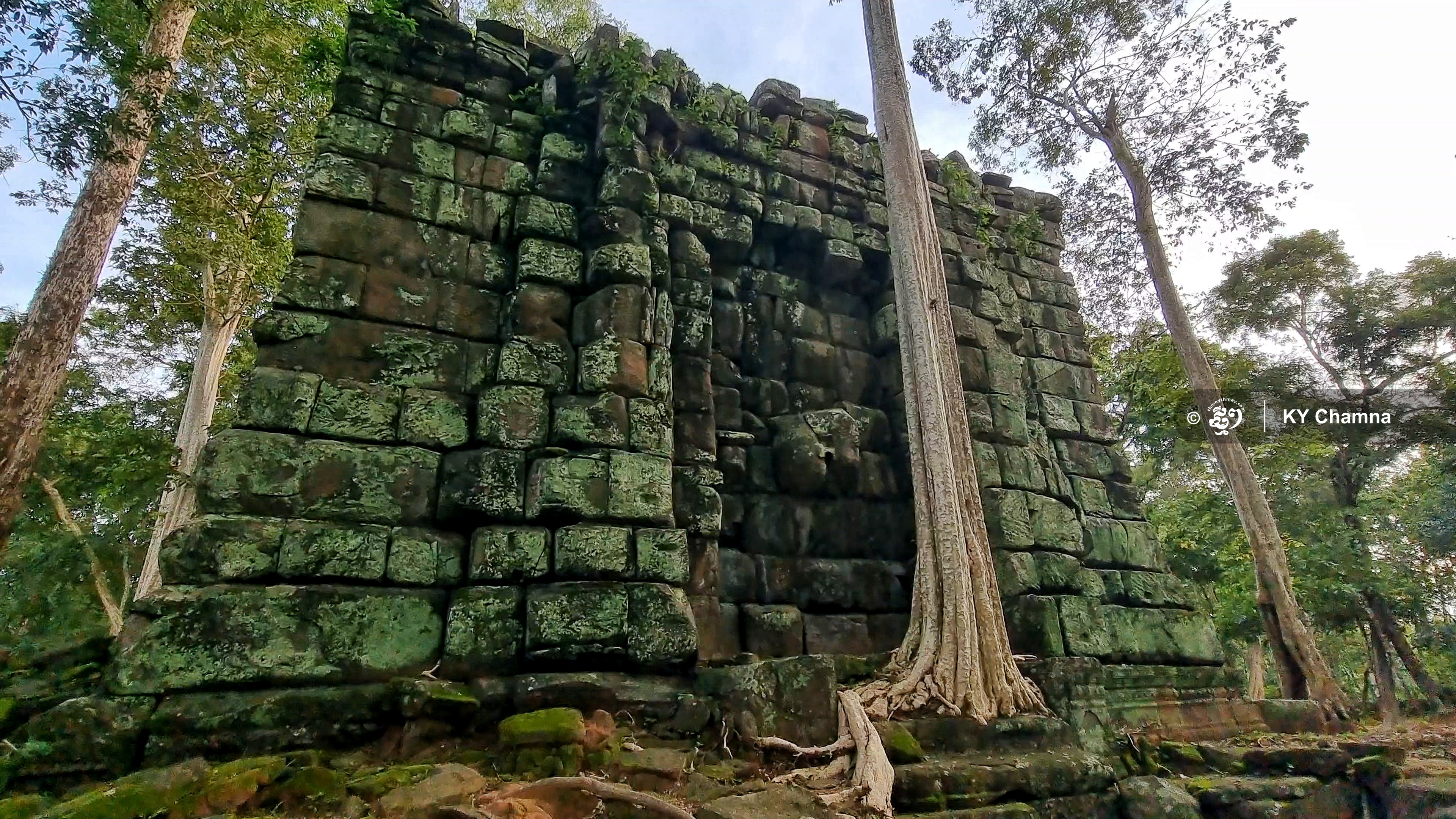
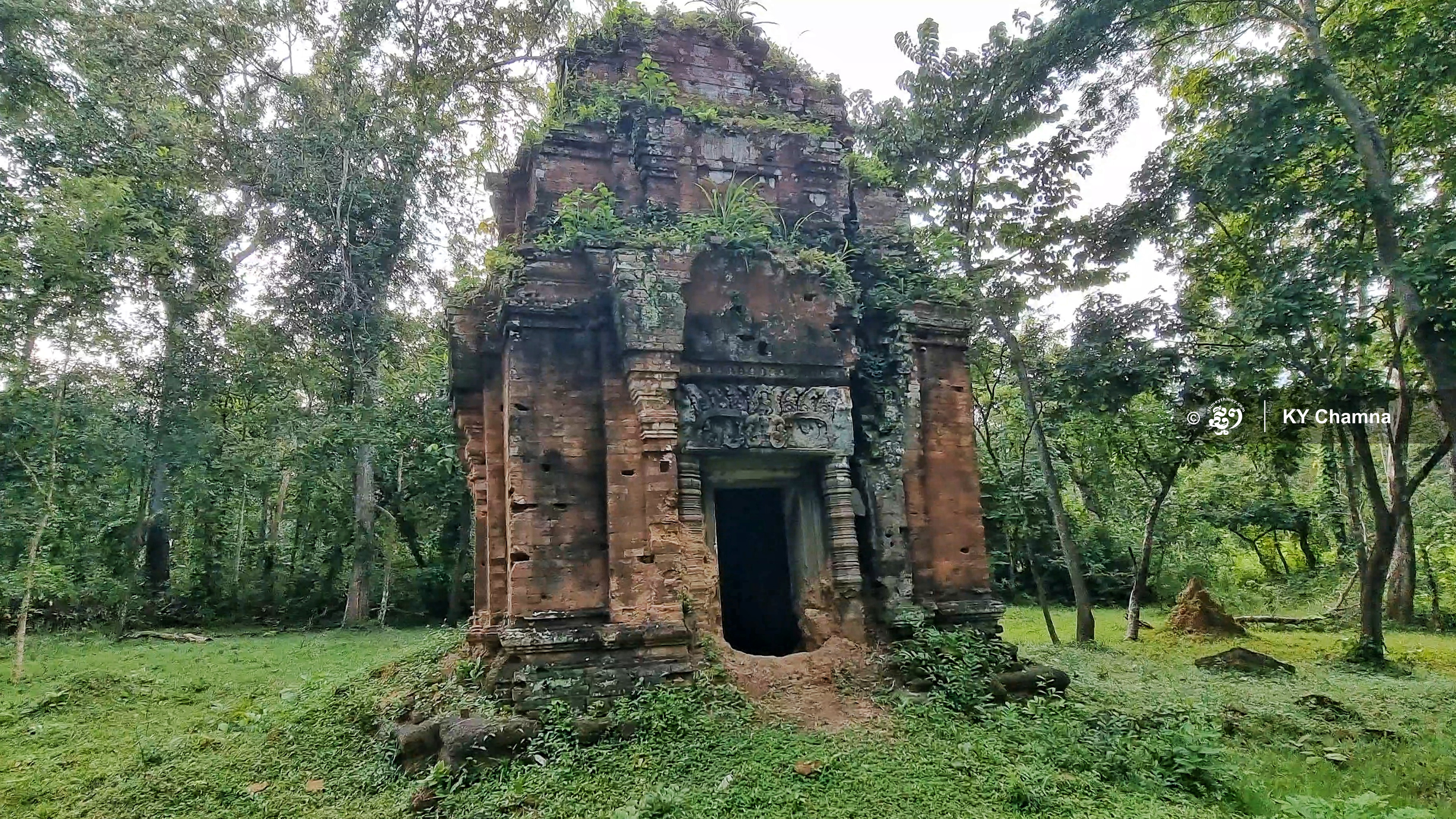
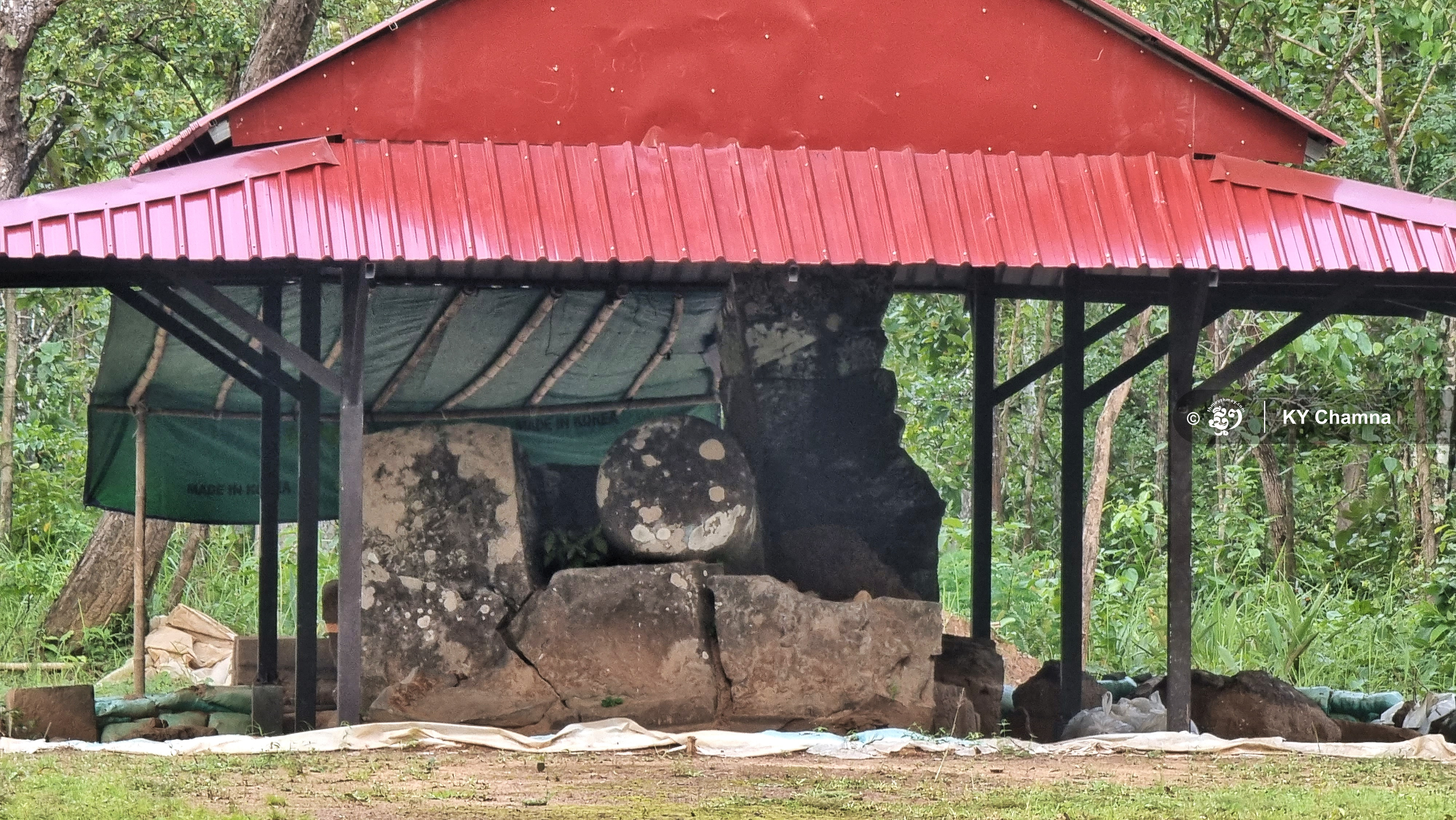
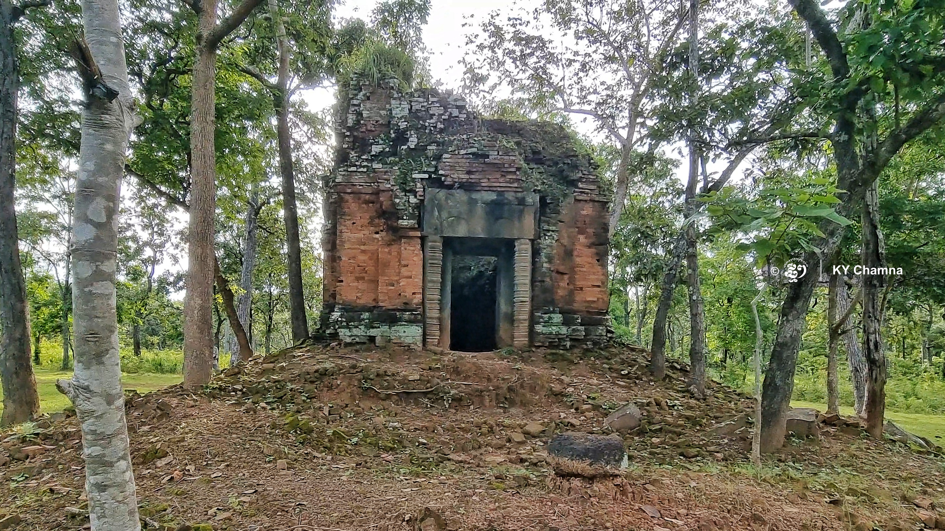
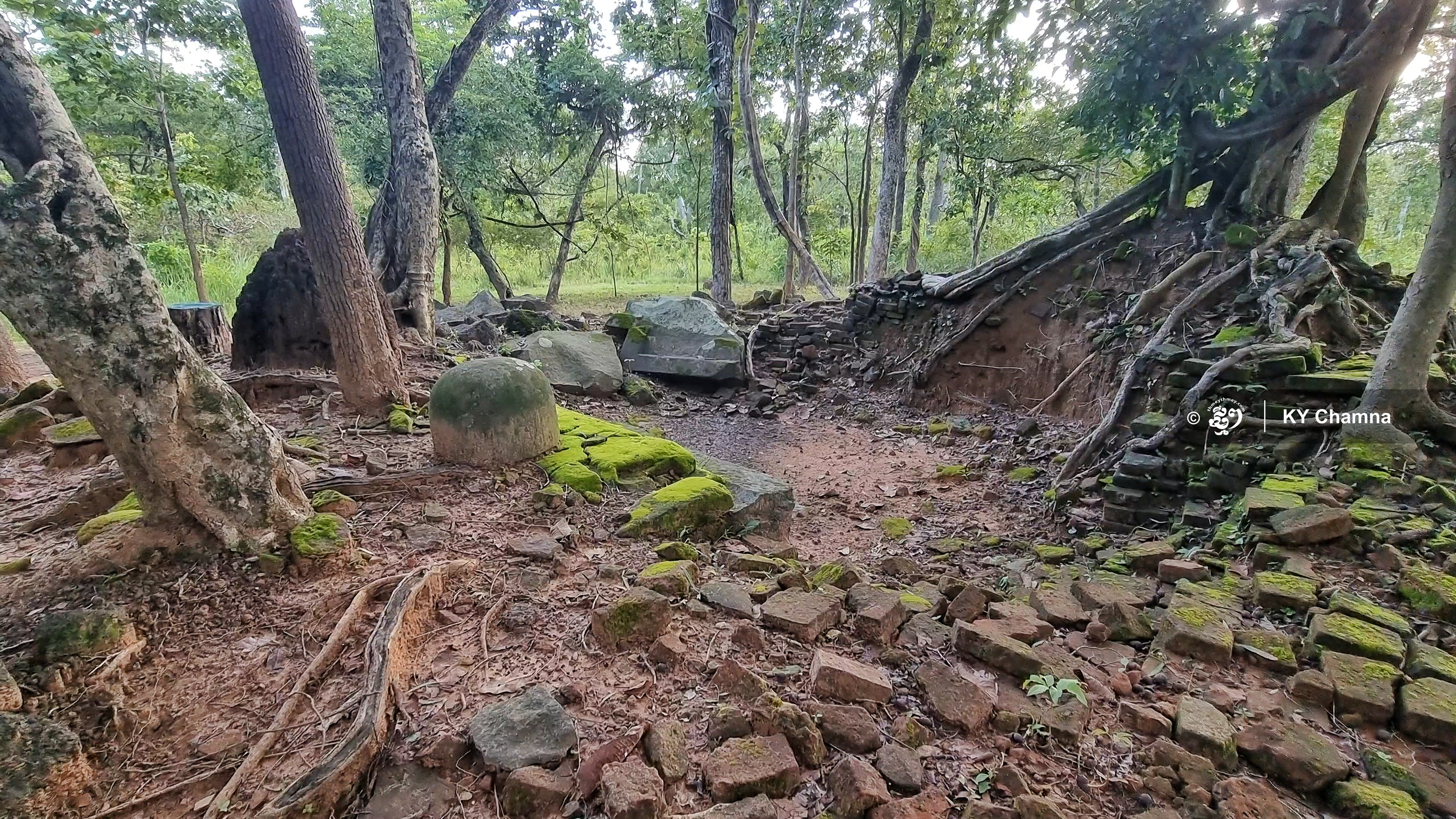
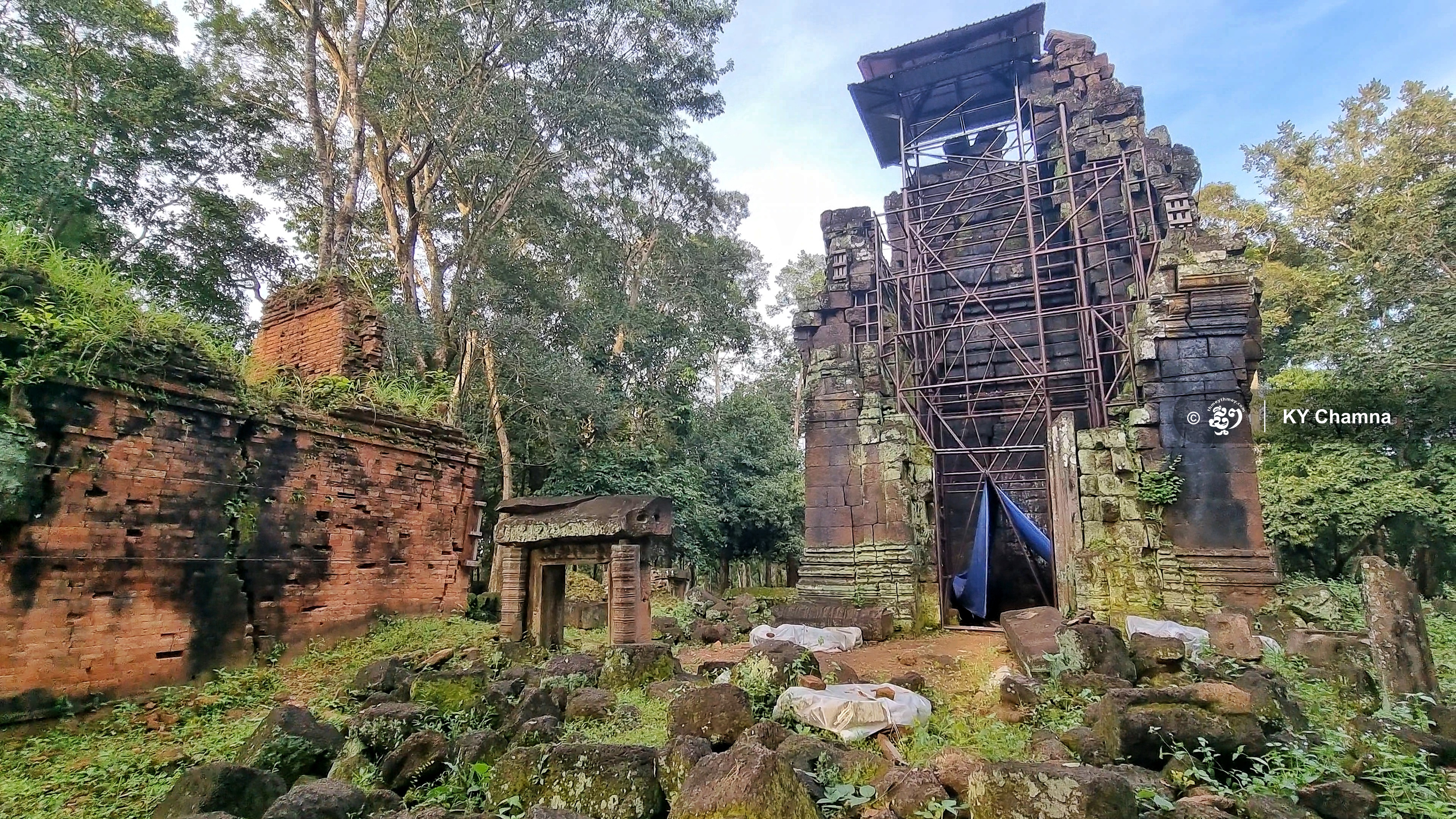
Sometimes hidden deep inside the woods, the temples at the Koh Ker site can be hard to locate or access. Due to age, lack of restoration and looting over past decades, the region of Koh Ker still feels like a land from another era although it is not that far from the Angkor Archeological Park of Siem Reap province.
On Sept 17, the temple region of Koh Ker became Cambodia’s fourth historical site to be put on the UNESCO's World Heritage list during the 45th session of the World Heritage Committee in Riyadh, Saudi Arabia.

Koh Ker came to be in 921 CE when King Jayavarman IV changed the nation’s capital city from the region of Angkor to the region of Chok Gargyar or Lingapura as it is called in Sanskrit, or Koh Ker as it is called today.
In 928 CE, when King Ishanavarman II, nephew to King Jayavarman VI, passed away, the latter was crowned and a law was enacted to turn Koh Ker into the political centre of the nation.
In terms of irrigation, the king had built dikes, reservoirs as well as big and small ponds to store the necessary supply of water. Large temples, such as the Prasat Thom and a series of smaller temples were constructed to house elaborate sculptures of divine figures such as the dancing Shiva, Brahma and Nirayana as well as statues depicting the fight between Duryodhana and Bhima in Mahabharata, which is one of the major Sanskrit epics of ancient India.
After the death of King Jayavarman IV in 941, his son King Harshavarman II only reigned for a few years. He was succeeded by King Rajendravarman II, the nephew of King Jayarvarman IV, who moved the capital back to Angkor in 944.
According to archaeological research, the region of Koh Ker, although largely abandoned, was still inhabited by people from the 10th century CE to the 15th century. The reason why Koh Ker remained an important city was perhaps due to its geographical location as it connected the region of Angkor to Wat Phu temple in present-day Laos as well as to other parts of the former Khmer Empire.
Today, Koh Ker is about 100 kilometres from Siem Reap City and 370 kilometres from Phnom Penh. This World Heritage site includes 196 historical sites, 76 temples as well as a number of roads, ponds, reservoirs and dikes.
The site’s temples can be classified into three groups based on construction materials, decoration, dates inscribed on stones, as well as how the structures were perpendicularly or parallelly aligned with one another.
Group one: The centrality of the region consists of Prang temple, Tomb of the White Elephant, Roum temple, Kraham temple, Srot temple and a combination of linga temples constituting a distance of 1,170 metres, making it the longest temple system of its time.
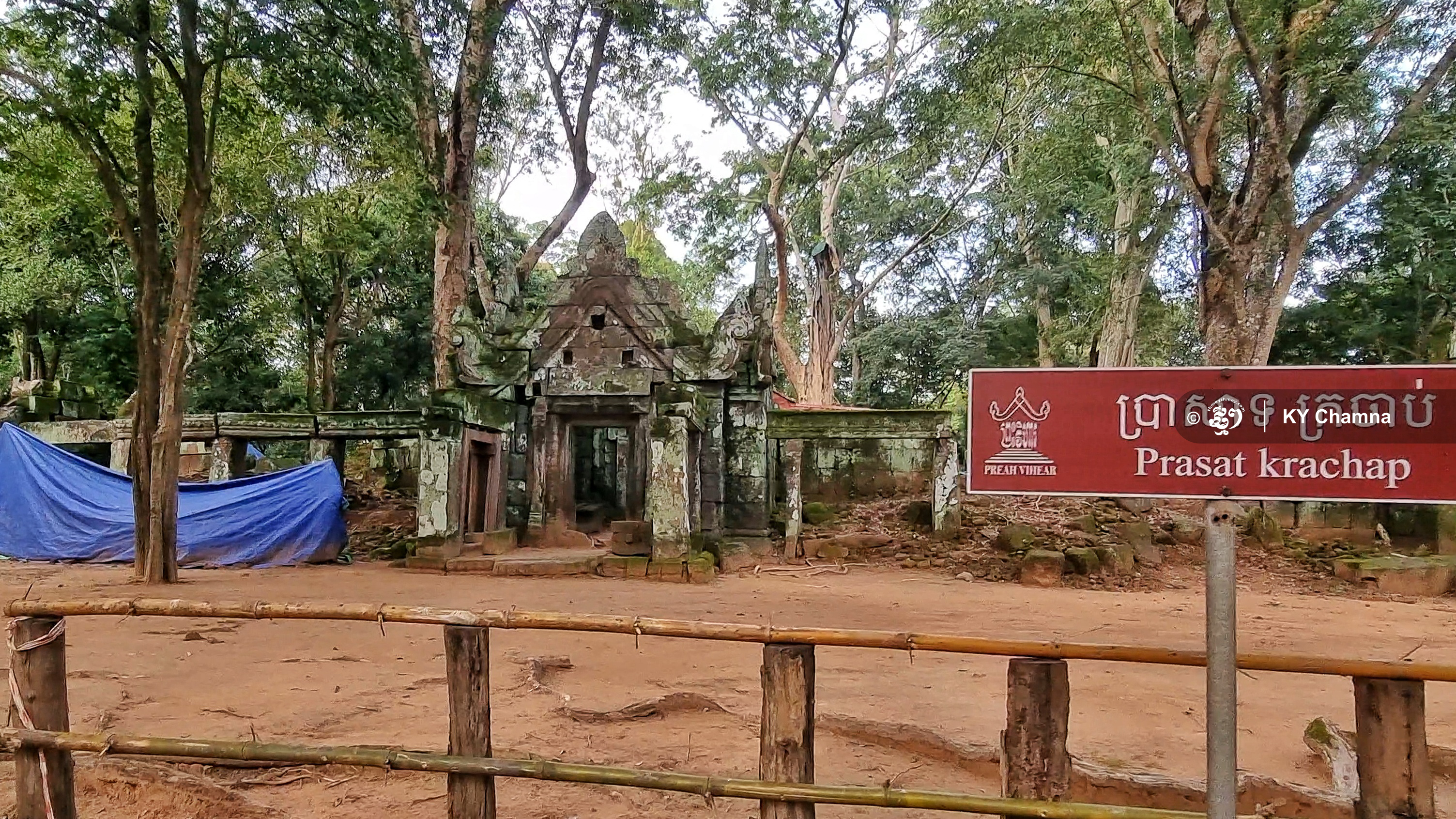
Group two: These temples run parallel to the axis of the above-mentioned group, creating an interesting geometry. It serves as important points for the organisation of the city, namely the water reservoir as well as other temples in the vicinity. Most of the temples in this group were constructed using the first phase of the city development during the reign of King Jayavarman IV between 921 CE and 928 CE. And these include Pram temple, Neang Khamu temple, Chrab temple, Khnar temple, Krachab temple as well as the Ang Khnar pond.
Group three: This group consists of Beng temple, Trapeang Russei temple, Pongro temple, Dan temple, Dong Tung temple, Dei Chhnang temple and more. Although these temples do not show any central pattern based on the general plan of the city, they still serve as important locations when connected to the main temples, putting them in a classification of their own.
Related article: UNESCO Lists Koh Ker Temple Region as World Heritage
The information contained in this article came from the information leaflet printed by the National Authority of Preah Vihear.